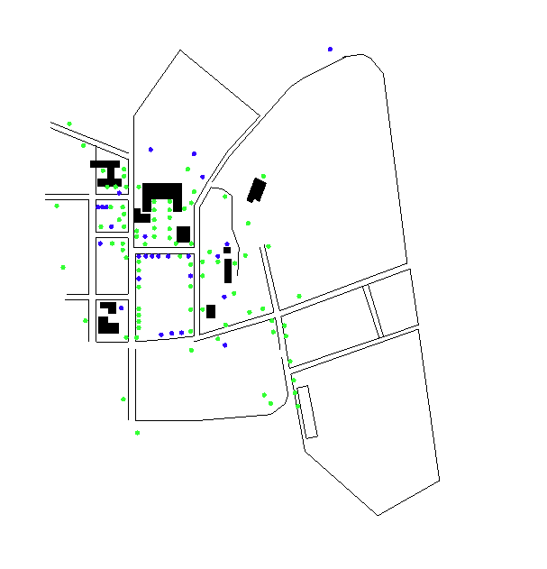
This is a rough map of the Dartmouth College campus. The green
dots represent the location of elm trees, and the blue dots represent
other interesting trees.
Click on a dot that represents a tree to see a list of pictures of that tree, sorted by
date (oldest first.) You can then click on the number of the picture to see that picture.
The image map works by giving you the closest tree that is in the
database to the place you click. There may not be a picture of each tree
on the map, so you may get a picture of its nearest neighbor. As time
goes on there will be more pictures.
The black shapes represent buildings, the lines represent roads.
If you find this interesting, let me know. I have loads more pictures that I haven't uploaded.